Artist: John H. Maxson
Dimensions: 39ʺW × 0.5ʺD × 49ʺH
Printed by the U.S. Geological Survey | Framed in Natural Wood Natural Solid Wood Maple frame
This 1967 Preliminary Geologic Map of the Grand Canyon and Vicinity, Arizona by John H. Maxson offers a detailed and colorful view of the Grand Canyon’s landscape. Produced by the U.S. Geological Survey, it shows the area’s topography and geologic layers with precision and visual appeal.
Custom framed in natural wood with archival materials, this vintage map is both an educational piece and a striking decorative object.
Condition Notes:
Printed in 1967. The map shows light wear consistent with age, including minor rubbing along the edges and a small hole in the lower left corner. It has been archivally mounted to ensure stability and flatten the surface. The piece is presented in a frame, offering protection and an attractive display. Overall, the map remains in very good vintage condition with clear detail and well-preserved color

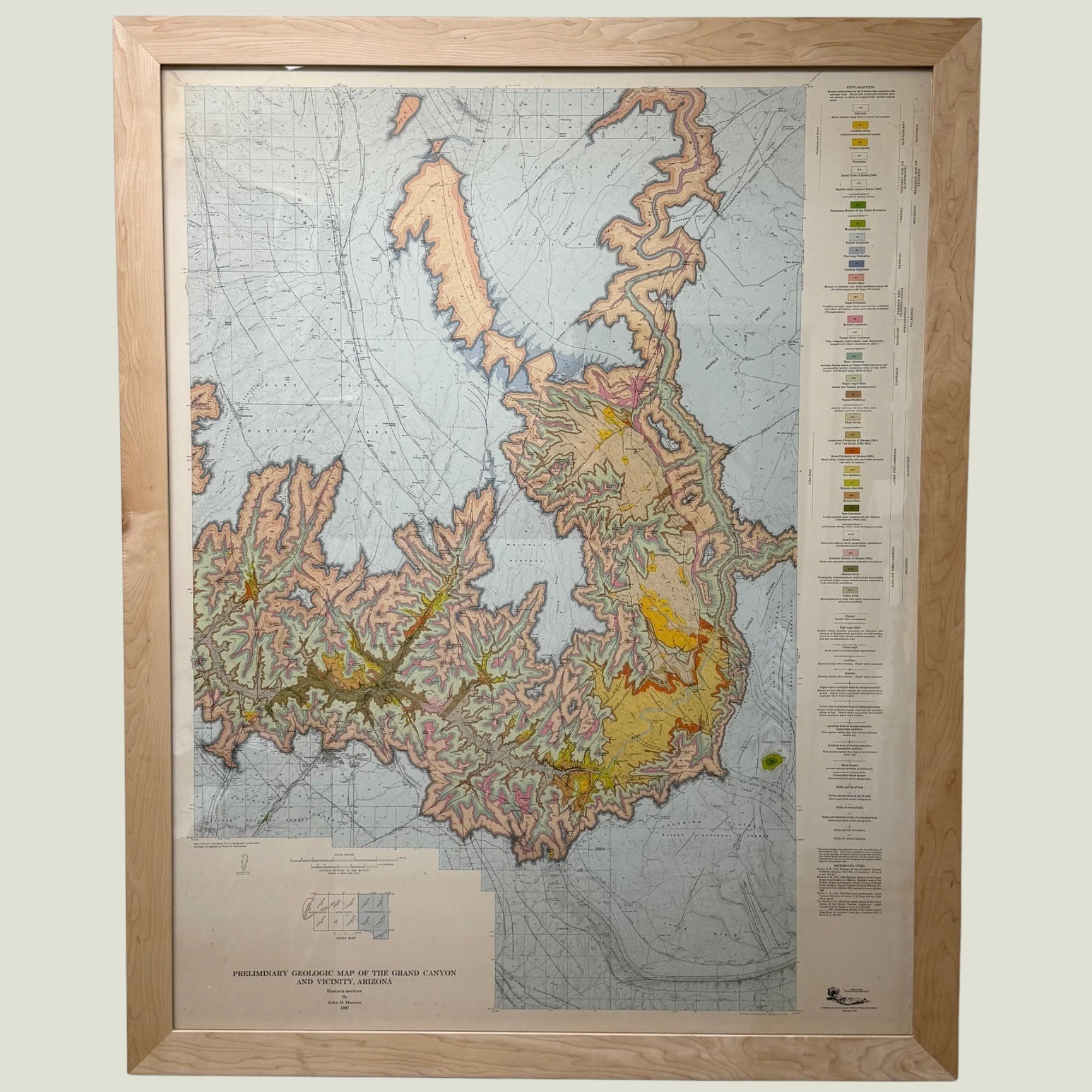 Image 1 of 12
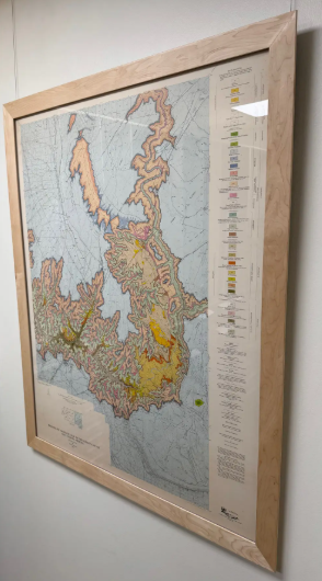 Image 2 of 12
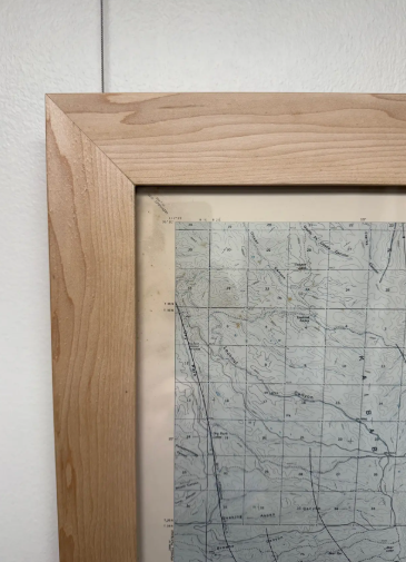 Image 3 of 12
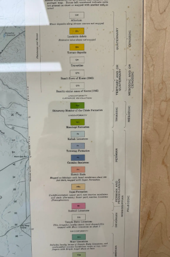 Image 4 of 12
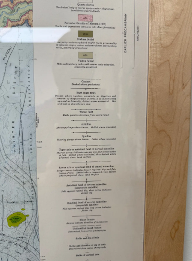 Image 5 of 12
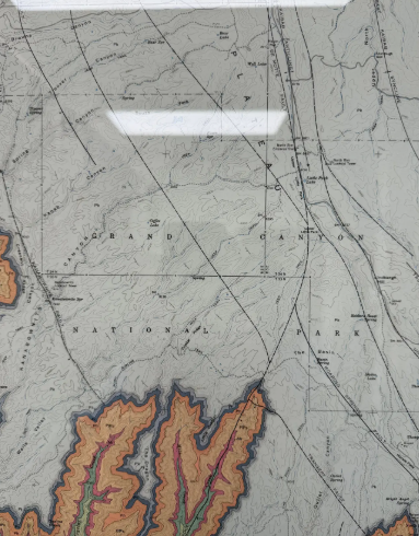 Image 7 of 12
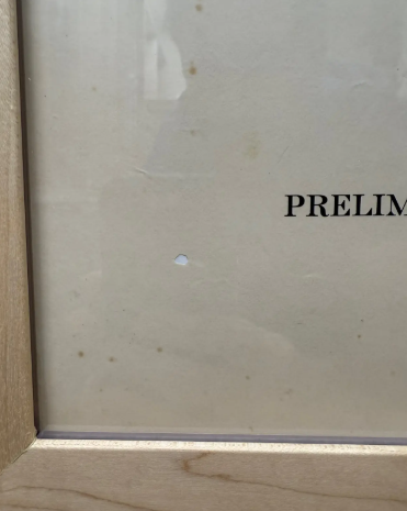 Image 8 of 12
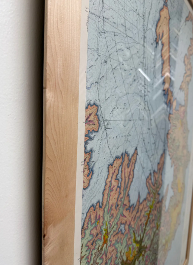 Image 9 of 12
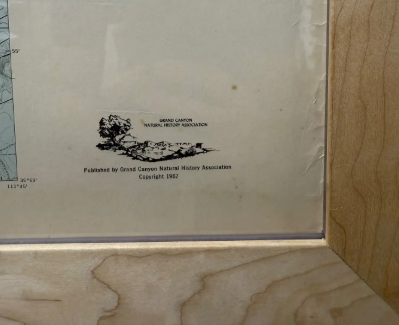 Image 10 of 12
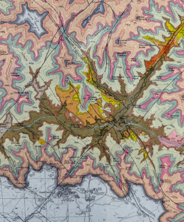 Image 11 of 12
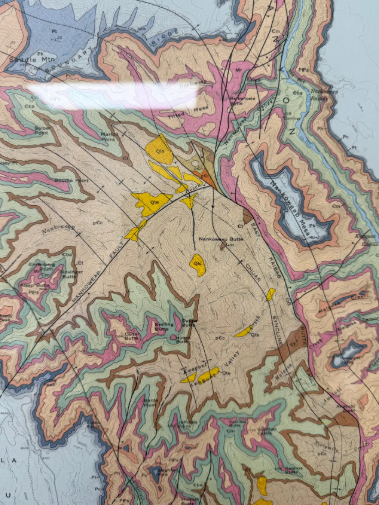 Image 12 of 12